🗺️ What is a Collaborative Map? A Complete Guide to Collaborative Mapping
A collaborative map is a digital map that allows multiple users to contribute data—such as locations, markers, comments, or media—either in real-time or over time. Unlike static maps created by a single source, collaborative maps are community-driven and constantly evolving with input from many individuals.
Real-World Benefits and Use Cases
These maps are especially useful for:
- Community reporting
- Tourism and travel recommendations
- Local business directories
- Event mapping
- Citizen science and environmental tracking
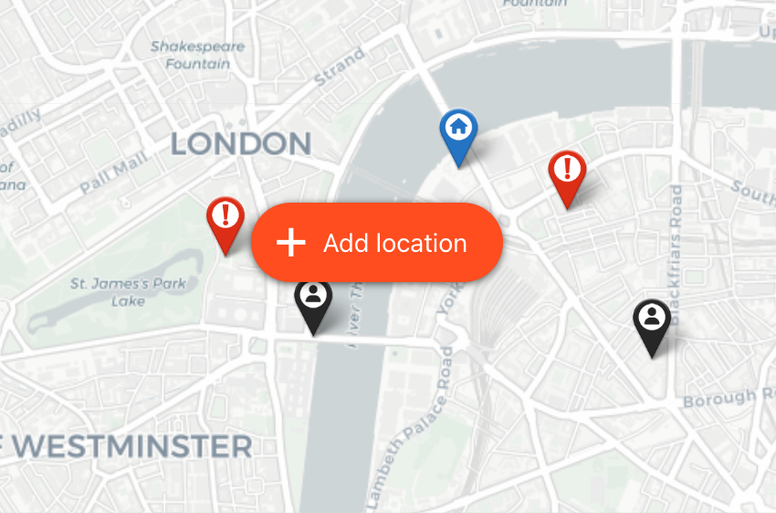
- Crowd-sourced incident or hazard reporting (👉 Example)
Collaborative mapping enables dynamic storytelling, crowd participation, and data democratization—users become mapmakers, not just map readers.
🤝 What is Collaborative Mapping?
Collaborative mapping refers to the process by which multiple users contribute to the creation and curation of a shared map. This can happen in real time or asynchronously, and contributions can include:
- Adding new markers (locations)
- Editing existing entries
- Uploading images or descriptions
- Commenting or voting on places
This process is often used in participatory planning, open-source data collection, and community-driven projects. Collaborative mapping fosters transparency, engagement, and local knowledge sharing.
🚀 Why Use a Collaborative Map?
Here are some real-world examples of why you might want to implement collaborative mapping:
- A neighborhood association crowdsources ideas for new public spaces.
- A nonprofit tracks environmental cleanups submitted by volunteers.
- A travel blog invites users to pin their favorite destinations.
Collaborative maps can empower your audience and add value to your website through user-generated content.
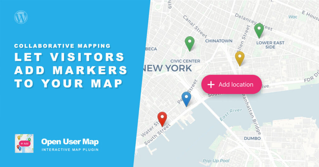
🛠️ How to Create a Collaborative Map in WordPress with Open User Map
Implementing a collaborative mapping solution on your WordPress site is easy with the Open User Map plugin.
✨ Key Features:
- Allow visitors to add markers directly on the map
- Customizable form fields (e.g. title, description, media uploads)
- Moderation and approval system
- Works with OpenStreetMap & Mapbox
✅ Step-by-Step: Creating a Collaborative Map
- Install & Activate the Open User Map plugin.
- Select Interactive Map during the initial setup or later in the settings.
- Customize the marker submission form to suit your use case.
- Embed the map on any post or page using the Gutenberg block or shortcode.
- Optionally disable moderation to review submissions before publishing.
📌 No coding required. Everything works seamlessly with the Gutenberg Editor, Elementor or with Shortcodes.
🌍 Who Benefits from Collaborative Mapping?
Whether you’re building a crowd-sourced travel map or empowering your community to share local resources, such a solution is a powerful way to:
- Increase user engagement
- Collect location-based insights
- Encourage content sharing
🔗 Start Your Crowdsourced Map Today
The easiest way to get started with collaborative mapping is by using Open User Map—the most flexible, user-friendly plugin for crowdsourced maps in WordPress.
👉 Download Free Version on wordpress.org
👉 Or Explore the Premium Features